
By HistoraEDU
Students can remember that bison mattered and still miss most of a Plains history lesson. A single image of a tipi or herd can become a timeless explanation for many different peoples. Replace that shortcut with a dated explanation: whose choices are being described, what changed, and which source supports the claim? This lesson uses a short timeline to keep ecology, political identity and outside pressure from collapsing into one story.
Diagnose the shortcut before adding detail
Ask students to write one sentence explaining what they think a Plains regional label tells them. Read a few anonymously. Separate claims about a landscape from claims about language, government or historical change. A regional label alone cannot establish all four.
Choose one specific community account and two dates or periods from reliable sources. Keep the timeline small enough for students to explain change, rather than spending the lesson copying names. Put the creator and scope of each account beside the entry.
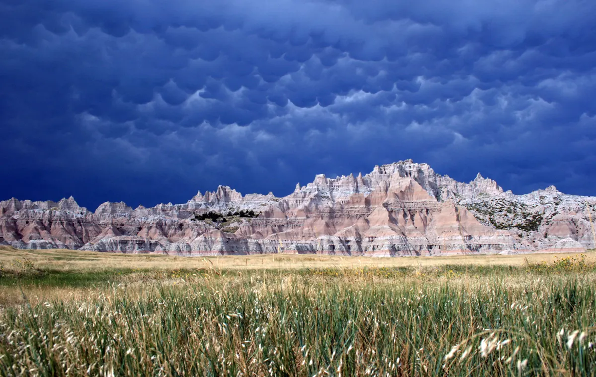
Modern Badlands landscape and mixed-grass prairie in South Dakota; not a reconstruction of historic Plains life. Credit: NPS Photo. Public domain; no endorsement implied.
Use a landscape as evidence of place not a complete history
The modern Badlands image lets students describe grassland and landforms. Ask which part of their explanation comes from the photograph and which part requires a written source. The image does not identify a political alliance or establish a migration route.
The Cheyenne and Arapaho Tribes’ language and culture account describes historical change and ongoing cultural work. Use a short selected passage to complicate the idea of an unchanging way of life. Do not make a source about these peoples stand in for every Plains nation.
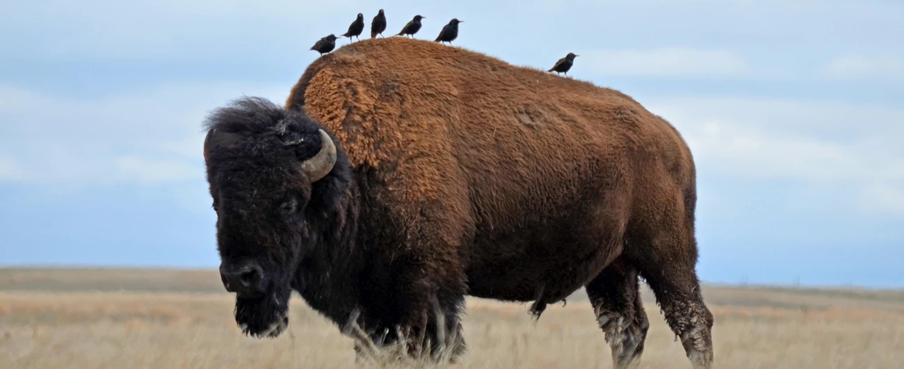
Modern photograph of a bison with birds at Wind Cave; ecological observation, not a historic hunting scene. Credit: NPS Photo / Kim Acker. Public domain; no endorsement implied.
Make the animal photograph earn its place
Ask students what they can observe about the bison and the birds. Then give them a source-based question that the photograph cannot answer, such as how a particular community organized access to resources or responded to an imposed restriction. This makes the distinction between ecological observation and historical explanation explicit.
Avoid a classroom survival competition or an activity that asks students to invent a generic Native identity. Instead, have them annotate an account: underline a decision, box the people making it and mark the evidence for a constraint. That work is both more precise and easier to assess.
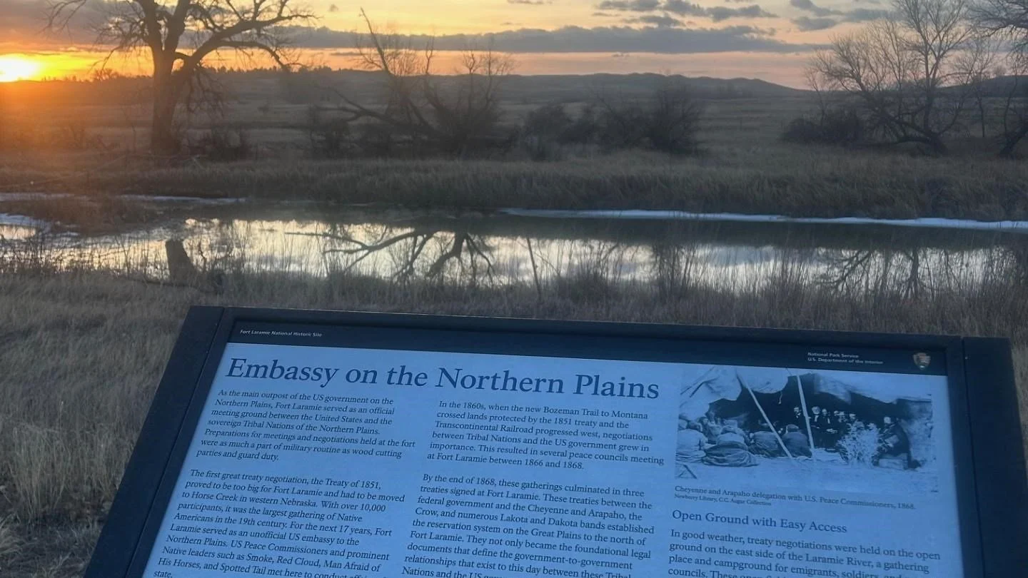
Modern interpretive marker for the 1868 Fort Laramie treaty location; not a photograph of the negotiations. Credit: NPS. Public domain; no endorsement implied.
Add political decisions to the timeline
Use the 1868 Fort Laramie treaty as a dated primary document, with enough context to distinguish its written provisions from later implementation. Ask who is named, what commitments appear in a selected passage and what evidence would be needed to know whether those commitments were honored.
The modern interpretive marker is a photograph of how a site is presented today, not a photograph of the negotiations. Students can compare the marker’s purpose with the treaty’s purpose. Neither should be treated as a transparent account of every participant’s experience.
Check the political names before assessment
Distinguish the larger Oceti Sakowin alliance from its Lakota component. The Smithsonian’s nation-specific material and Minnesota Historical Society’s Seven Council Fires resource support that distinction. Do not turn the seven Lakota bands into the seven council fires of the broader alliance.
For an exit task, ask students to revise “Plains people lived the same way until settlers arrived.” Require a named people, a dated change and one source limit. Assess whether the student explains change without replacing one sweeping generalization with another.
Match the resource to the explanation
The regional reading can orient a comparison; community readings provide narrower entries. Use teacher-selected passages rather than treating any reading as an unchecked guide to political identity. Give the Lakota naming clarification below before assigning its opening identity question or vocabulary.
Great Plains Native Americans Reading Comprehension Worksheet
View this HistoraEDU resource on TPT
Regional reading for an initial comparison of geography, subsistence and change. Use a bounded excerpt and identify the specific people and period it describes.
Lakota Sioux Reading Comprehension | Great Plains Native Americans
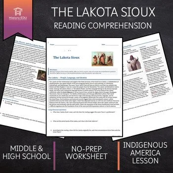
View this HistoraEDU resource on TPT
Use a selected passage to frame a dated question about Lakota history, with this teacher clarification: the seven Lakota bands are not the seven council fires of the larger Oceti Sakowin. The Smithsonian identifies the wider groups as Wahpekute, Wahpetunwan, Sisistunwan, Bdwakantunwan, Ihanktunwan, Ihanktunwanna and Titunwan. Keep the broader alliance and the Lakota component distinct. Do not assign the reading’s opening question about the seven bands and Oceti Sakowin, or its Oceti Sakowin vocabulary entry, as independent recall without supplying that correction.
Cheyenne People Reading Comprehension | Great Plains Native Americans
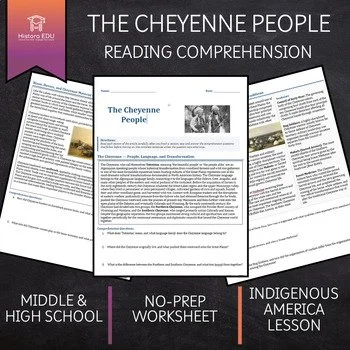
View this HistoraEDU resource on TPT
Community reading to support an explanation of change rather than a timeless regional stereotype. Pair a selected passage with the Cheyenne and Arapaho Tribes’ public account; no complete answer-key or classroom-testing claim is made.
Sources and image credits
Cheyenne and Arapaho language and culture
Minnesota Historical Society Seven Council Fires
Fort Laramie treaty primary document
Image record laramie-treaty-site
Product thumbnails: HistoraEDU, reproduced from the exact current TPT listings at the owner’s request. Archival sources do not endorse HistoraEDU or its products. No claim to original U.S. Government works.
